Poudre River canyon.
The Rawah Wilderness is a couple hours west of Fort Collins. Most of the drive over there is up the gorgeous Poudre Canyon. I had never been there before, but can't wait to go back. I think the river canyons are quickly becoming my favorite part of Colorado. Unfortunately, the Poudre wasn't why we were there. We were on our way to the Medicine Bow Trail which we hoped would be a two night camping trip.

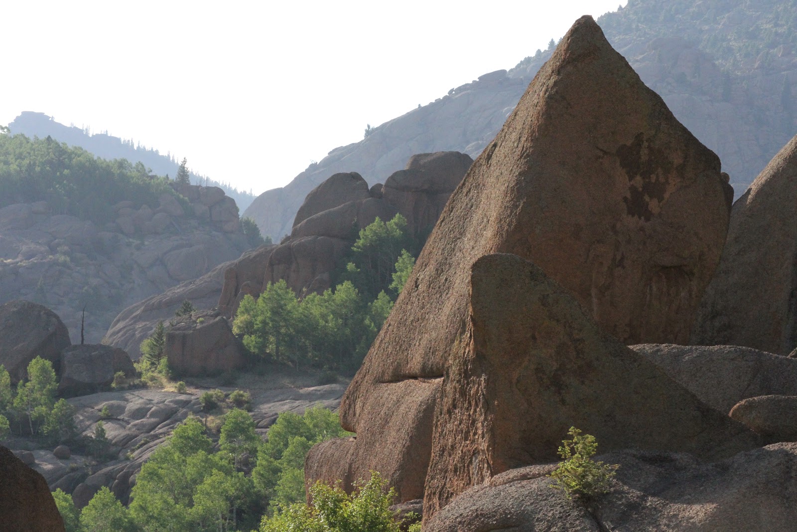
The Rawah Wilderness.

Meandering through the aspen trees.
Our first day, we got in pretty late in the afternoon after watching Sammy tear it up in the Discathon event at the Overall Disc World Championships. I believe he ended up finishing 2nd. Second in the world. Not many people get to say that. For our late start, KLS and I were just hoping to get a couples hours in from the trail head. It was a nice meander through the woods with a few mosquitoes. Before the light faded, we found a great campsite with a nice view of a meadow. As we were setting up, the mosquitoes went from pesky to marauding. Hundreds, thousands, and millions of mosquitoes. I have never seen so many mosquitoes in my life. There were so many biting us that even Sabah got sick of it. She started sprinting just to get them off of her. Even with that, so many fed on Sabah that her mouth swelled up for two days. YIKES! We settled into bed to get away from them pretty quick.

Our first campsite in the Rawah wilderness.

If you've hiked with Sabah, you know her brilliant pounce!
The next morning, our mosquito friends were still ready to break bread and skin with us. We hoped the day would go well. It was cold, but the sky was clear. It warmed up quickly as the day wore on and we climbed in elevation. We started entering meadows, going back to the woods, and then back to the meadows. Unfortunately, we lost the trail in one of these woods. After searching for 30 minutes, we still could not find the trail. If there were not so many mosquitoes, we might have searched longer. However, our patience wore out and we opted to go back and take another trail that would be an out and back instead of a loop. As we got ready to turn back, my body decided it was not going to wait to use the bathroom. I wandered off into the woods, pretending that I could get away from the mosquitoes, and happened to find the trail!

Sabah's ears looking like they do in this photo is why I ended up adopting her (Thanks, Viv!)

Colorado wildflowers. The oranges ones are Indian paintbrushes. I can't remember what the purples ones are.

Sabah taking a break by the wildflowers.
We continued to climb in elevation and the trail continued in and out of meadows. There was still snow in large parts of the woods which hid the trail from us. It was frustrating. One time, we couldn't find it so we just used the topography map to get us where we were going. It was great to use the map and end up finding a cairn to let us know we had refound the way. Relieved, we continued onward. However, the trail didn't seem right. We seemed to be going the wrong direction. As it turned out, we missed our the short cut turn while we were using the topo map to get us back to the trail. We had not decided if we were going the long or short route yet, but we had hoped to have the choice.

Non-existent markers or markers like this on the ground are part of the reason we lost the trail

Our hike went mountain top meadow to mountain top meadow.

Sabah does whatever it is that Sabah does.

KLS strikes a pose.

The beauty of the Rawah wilderness.
The new trail followed a ridge and then dropped into a valley heading southeast. We lost the trail AGAIN. OK, at this point, you need to ask if we were inept. We might be. KLS has only done a few hiking trips, but I can't remember the last time I got lost on a overnight trip. This last time, we lost it because of melted snow. We were going cairn to cairn without any problems when suddenly they disappeared. Our best guess is that they were underwater. In August, there was still snow melting into the basin from our big winter. That snow led to lakes and creeks that were not on the map. After spending the better part of an hour going in circles around the last cairn we found, we sat down to fight the mosquitoes and make a choice. Do we head back and look for the trail turn we missed? Do we just go all the way back the way we came? Do we keep looking? Sabah decided on her own option of just sprinting as fast as she could away from us for about a half mile. She had a mental freak out about the mosquitoes. Man, they were so bad. For those of you who have been to New Zealand, they were worse than the sand flies.

A mountain in the Rawah wilderness.

The snow in the basin that indirectly helped us lose our trail.
The trail we wanted would go 2-3 miles southeast and then turned to the north. It was late afternoon and we had time so we opted to keep looking in a different way. The sun was clearly in the west and we could use it to guide us east in hopes of finding the north-south trail. If we missed it, there was a road two miles beyond it. We signed up for a pretty big slog. The first part was downhill over fallen trees. Then, we had to cross a marshy area that soaked our shoes. The soaking was frustrating, but probably good for when we had to cross the rushing creek that was moving fast enough we crossed one at a time and kept Sabah on leash. Then, more marsh and finally going back up the hill across more fallen trees. At some point, we were using the topo map to narrow in on where we were and thought we were close. About a quarter mile later, we reached the top of a hill and KLS spotted rocks that clearly marked the trail we were looking for. We were elated.

A huge fungi. I wish we had put a foot beside it to show you just how big it is.
It was still late afternoon and we had been through a lot. We just wanted to find a good campsite and some water. When we finally got to a stream, we filled a couple bottles but not all of them. The map showed another stream in just another mile. That next stream never came. The stream we had crossed was a seasonal one, probably draining the lakes that also weren't on our map. When we didn't cross that next stream after a couple hours, I didn't want to risk grabbing one of the campsites we saw with no water nearby and almost none in our bottles. I was running out of mental steam, but KLS picked up the slack. After 2-3 hours, we finally found that next stream (which was the first one on the map). It was dusk. We filled up all of our bottles and started looking for campsites. We were having trouble finding one.

This is one of the last few cairns we found to mark the trail. Sabah was doing her best to help, but we just couldn't find anymore even though they had been close enough that you can see two in this photograph. Perhaps the best part of this photograph is that it is the last one I took. After this, the trip got a little more serious and I wasn't thinking about taking photos but getting us where we needed to be safely.
As our eyes adjusted to darkness, we
kept moving and talked about just walking out that night. The
mosquitoes had not let up and we had had enough mental challenges to
wear us out. We didn't commit either way, but kept it in mind. Shortly
after, we found the second stream. At this point, we were 1-2 miles
from the car and it was dark. With a little help from Sabah, we were
able to keep moving forward. We still weren't finding any campsites, so
we kept walking. Finally, when we were about two hundred yards
from the car, Sabah ran off. She realized we were back at the car and
went to lay beside it. She was done. We were done.
We hopped in the car and drove to Fort Collins. We considered camping along the Poudre that I liked so much on the way up, but we were terrified that its water might bring the mosquitoes which had been tormenting us. I know it is running water so there should not be too many, but we were so done with them that we refused to risk it. We just went all the way into town where EVERY single hotel and motel (the cheapest and most expensive) were booked. Why? Cheyenne Frontier Days was happening in Cheyenne, WY. You might think it odd that another state's event would effect Colorado, but Cheyenne is a small city. They don't have the infrastructure for all the people that come so it spills over into Fort Collins, over an hour away. We slept in the car.
Overall, we can both say this trip turned out well even though it was less of an adventure and more of an ordeal. Some of our ordeal was caused by bad choices. Some of it was caused by bad luck. However, that did not matter. We kept our cool. Neither one of us lost it and the trip brought us together instead of dividing us. This trip definitely made sure that KLS passes Meg's camping test.

Sammy.